Same River, Different Future: What Nepal's Glacier Collapse Tells Us About Himalayan Risk
On 26 August 2026 a 0.2 km² block of ice and rock fell 1.2 km from Langtang Lirung and destroyed 72 km of the Trishuli valley. The real story is not the flood — it is that climate change is rewriting how Himalayan hazards form, and our monitoring and finance have not caught up.
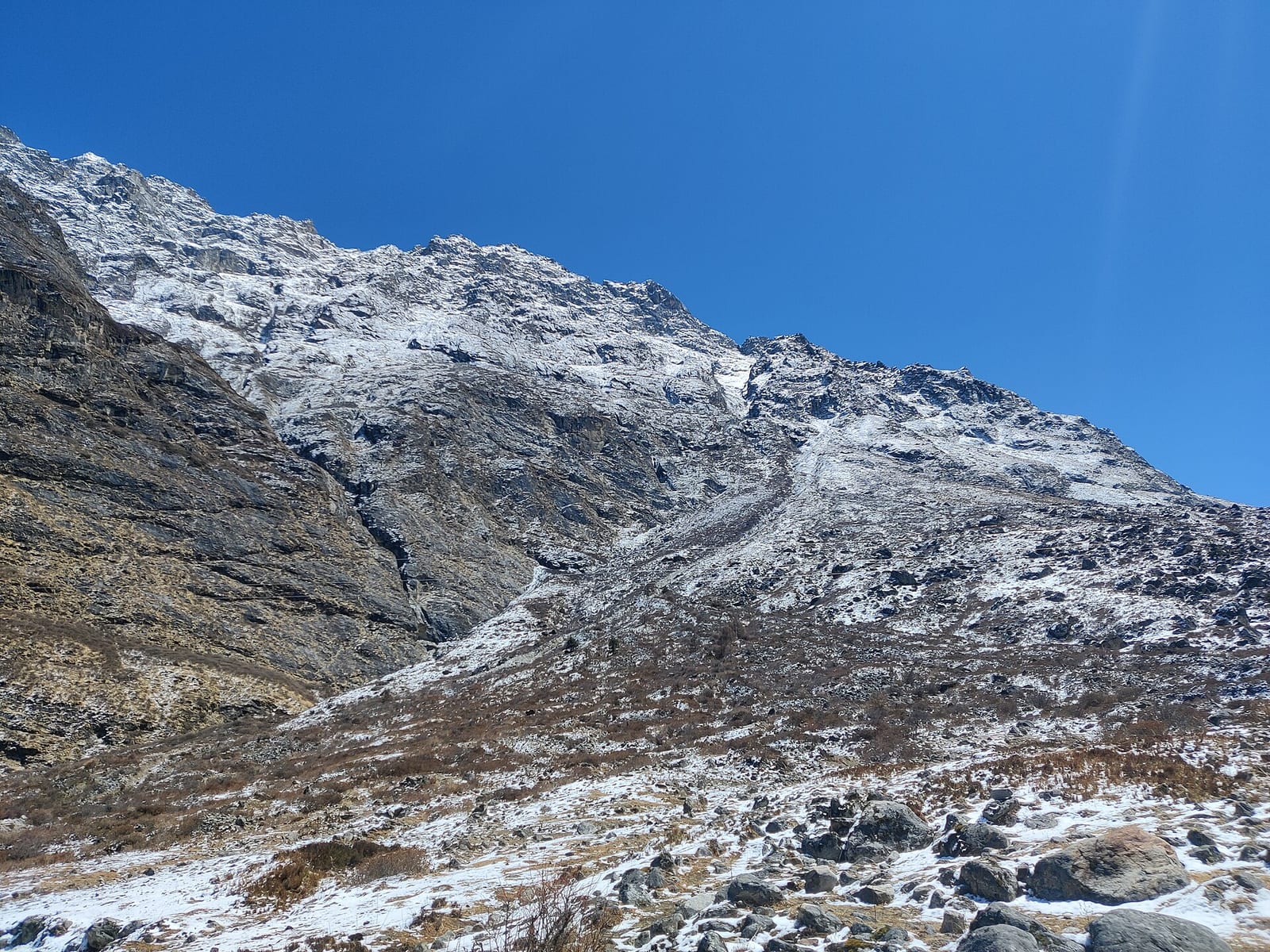
The real story is bigger than a flood.
It is about how a changing climate is altering mountain systems, and how communities that contributed almost nothing to global warming are being forced to absorb its consequences.
At 08:37 Nepal time on 26 August 2026, a block of ice and rock roughly 0.2 km² in area broke away from Langtang Lirung, at an elevation of between 5,200 and 5,400 metres near the Nepal–Tibet border, and fell about 1.2 kilometres into the valley below. What followed was not a standard flash flood. It was a wall of ice, rock and mud moving at approximately 180 km/h that tore down the Bhotekoshi and Trishuli river systems, striking settlements along a 72-kilometre stretch of valley. Villages in Rasuwa and Nuwakot were buried in seconds.
The United States Geological Survey examined the seismic signal the event produced and concluded it was generated by the collapse itself — this was not a tectonic earthquake.
What made this different from an ordinary flood?
A glacier collapse is not a flood that happens to start high up. It is a different physical event with a different speed, a different composition, and a different warning time.
The sequence runs like this:
- Warming alters glaciers and thaws permafrost, weakening the ice–rock interfaces that hold steep slopes together.
- A mass of ice and rock detaches and falls, converting height into enormous kinetic energy.
- The falling mass entrains debris and water, becoming a dense, fast-moving flow rather than clear water.
- That flow overwhelms the river system, destroying the very infrastructure — roads, bridges, power lines — that rescue and recovery depend on.
One hazard triggers another. A landslide can dam and then release a river. A glacial event can destabilise a valley for years afterwards. This cascading quality is what makes Himalayan climate risk so difficult to manage: the threat is no longer one hazard at a time.
The mountains themselves are changing
The Hindu Kush Himalaya is called the "Third Pole" for the volume of snow and ice it stores. That frozen world is now measurably shrinking.
The International Centre for Integrated Mountain Development (ICIMOD) reports that glaciers across the Hindu Kush Himalaya have been losing ice at roughly double the rate since 2000, amounting to a loss of up to 27 metres of ice thickness since 1975. On current emissions trajectories, ICIMOD projects these glaciers could lose up to 80% of their present volume, with snow cover falling by as much as a quarter and permafrost continuing to degrade.
This matters far beyond the mountains. Ice and snow in the Hindu Kush Himalaya feed 12 major river systems supplying around 2 billion people across 16 countries — 240 million living in the mountains themselves and about 1.65 billion downstream.
A necessary caution: not every Himalayan disaster can be attributed to climate change, and serious analysis should not claim otherwise. The immediate trigger for any single collapse involves geology, precipitation, seismic history, freeze–thaw cycles and local glacier dynamics, and establishing the mechanism behind a specific event requires proper scientific investigation. What the evidence supports is the broader statement: climate change is modifying the conditions in which Himalayan hazards form. That is enough to change how risk should be assessed.
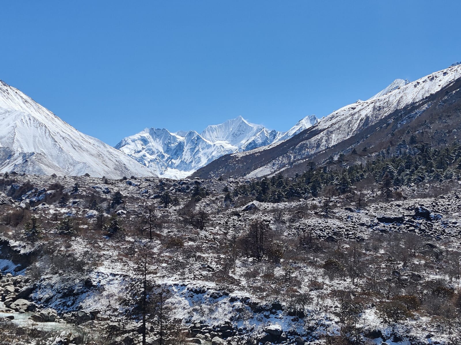
Rasuwa district, one of the two worst-affected districts. Photo: Pustam.EGR, CC BY 4.0, via Wikimedia Commons.
Infrastructure built for yesterday's climate
Himalayan countries are investing heavily in hydropower, roads, tourism and expanding settlements. These investments are necessary for development — and they sit in steep, geologically active valleys whose hazard profile is shifting.
Nepal's energy sector absorbed the consequences directly. The Nepal Electricity Authority reported that the floods removed an estimated 431 megawatts of generation from the grid, with a further 470 megawatts of under-construction capacity damaged. In total, 15 hydropower plants — ten operational and five under construction — with a combined capacity of 753 megawatts were affected, roughly 11% of Nepal's total generation capacity. The Independent Power Producers' Association Nepal put preliminary damage to hydropower at up to $230 million, a figure it expected to rise. The 14.1-megawatt Devighat plant, commissioned 42 years ago, was destroyed outright.
The design question this raises is uncomfortable but straightforward. Much of this infrastructure was sited using historical hazard records. Looking backward will not protect assets whose operating environment is changing. Instead of asking only where disasters have struck before, siting and design need to ask where warming makes flooding, landslides and glacial hazards newly plausible. Safety requires foresight, not hindsight.
Nepal's climate paradox
Nepal contributes an extremely small share of the emissions driving this warming. Estimates place the country's greenhouse gas output at roughly 0.03% of the global total — under 0.1% on any accounting — while Nepal ranks among the countries most exposed to climate impacts, in a region warming faster than the global average.
The warming is global. The damage is intensely local.
Because the Hindu Kush Himalaya sustains around 2 billion people downstream, instability here is not a contained national problem. It is a risk to shared water, food, energy and ecosystems across Asia.
How do you monitor a mountain before it fails?
The central lesson is that disaster management cannot begin when the river rises. By then, in an event moving at 180 km/h down a 72-kilometre valley, there is almost no decision time left.
Monitoring the mountains themselves is technically feasible today:
- Satellite imagery tracks retreating glaciers and the growth of glacial lakes over time.
- Interferometric radar (InSAR) detects centimetre-scale ground deformation on slopes, often the precursor to failure.
- Seismic sensors register mass movement the moment it begins — as they did on 26 August.
- River gauges measure the surge as it propagates downstream.
- Machine learning integrates these streams with weather data to flag anomalies faster than manual review.
We may never predict the exact timing of a collapse. But identifying which slopes and lakes are becoming dangerous is achievable now. The gap between what is technically possible and what is actually installed and maintained in the Himalaya is the space where the next disaster will happen.
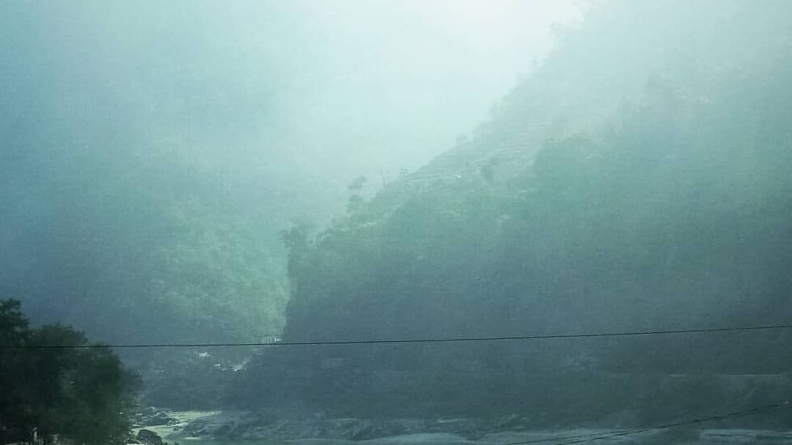
The Trishuli, downstream. Photo: Liznann, CC BY-SA 4.0, via Wikimedia Commons.
But adaptation needs money
Technology is a multiplier, not a solution on its own. Protecting people requires funded commitments: reliable early-warning systems, climate-proofed infrastructure, protected watersheds, and direct financial support reaching affected communities. Underneath the technical challenge sits a governance question — who bears the financial and ethical responsibility for making it happen?
Nepal has already shown that climate finance can serve both environmental and development goals. Its record includes household biogas and clean-energy programmes, community forest management, results-based forest finance, and preparation for participation in international carbon markets.
The logic behind mechanisms like carbon markets is that climate finance should not flow only to where emissions are reduced most cheaply. It can also create economic value for countries and communities that safeguard forests, deploy clean energy and deliver measurable, verifiable climate benefits.
But mitigation finance cannot substitute for adaptation finance. Paying Nepal to store carbon does not install a radar station above Langtang, and it does not rebuild Devighat. What Nepal needs now is resourcing to protect communities and infrastructure against risks that have already arrived.
The question we should be asking
What happened in Rasuwa exposes the limits of the usual climate debate. Reducing global emissions remains essential — and it does not answer the immediate questions on the ground:
- Who keeps exposed communities safe right now, while emissions are still rising?
- Who pays to rebuild in safer places and to safer standards, rather than rebuilding what was there?
- Who funds the monitoring and early warning that would buy a valley ten minutes of notice?
- Who protects the mountain watersheds that supply a large share of a continent?
If climate damage crosses borders without a passport, the responsibility to address it has to travel just as freely.
The Himalayas are sending a signal
The most important lesson is not that a flood occurred. It is that the systems producing these disasters are changing, and our approach to risk has to change with them.
The next event may look nothing like this one. It may begin high above a settlement — in a glacier, a thawing slope, or a remote valley nobody is watching — and arrive downstream before anyone has time to respond.
The difference between tragedy and preparedness comes down to what happens before the river rises: what is monitored, what is built where, which policies are in force, and whose money is committed.
The mountains are changing. Our monitoring, infrastructure, policy and financial systems must change with them.
Because the same river can have a very different future. The choices made now help determine which one arrives.
A note on the figures
Casualty numbers from this event moved substantially in the days after 26 August, and sources differed. As of 3 September 2026, reporting compiled from Nepali and Chinese authorities recorded 1,259 deaths and 5,083 people missing in Nepal, and 21 deaths with 541 missing in Tibet. Nepal's National Disaster Risk Reduction and Management Authority had confirmed 903 deaths as of 31 August. Around 933 hydropower workers were reported missing by the Independent Power Producers' Association. Figures were still being revised at the time of writing; treat them as a snapshot, not a final account. Where this piece cites physical measurements of the collapse, those come from geologist Daniel Shugar's analysis and the USGS assessment of the seismic record.